This past May I drove to Marfa to study art theory with Abinadi Meza and my fellow graduate students for two weeks.
This trip to West Texas would be different from my previous two- or three-night stays. With two weeks, I had time to settle, wander, and reflect.
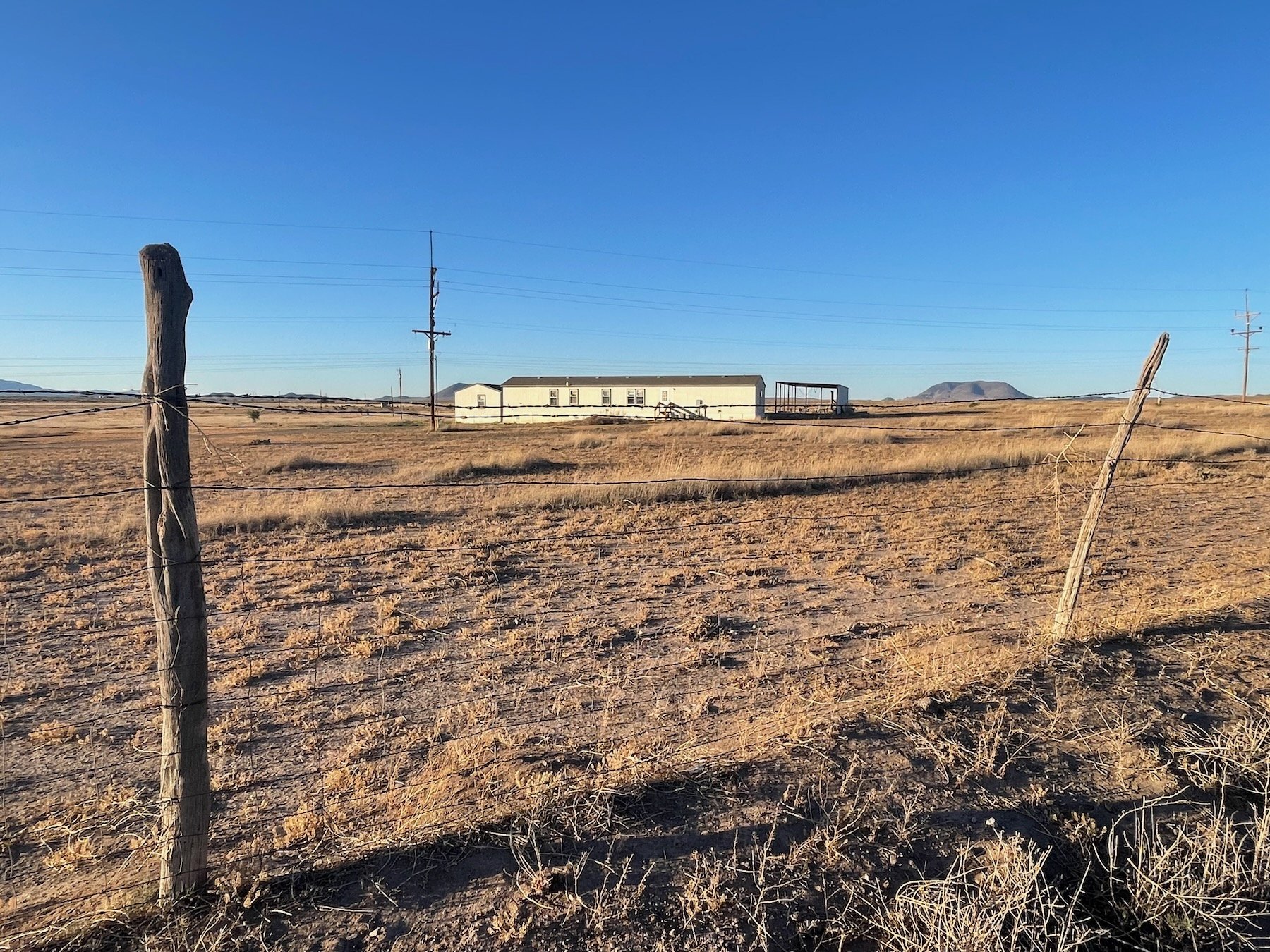
The course took place at Fieldwork Marfa, an artist residency housed between two manufactured homes and a parcel of land on the outskirts of town. It is quiet, dusty, and wide. Colors are perplexingly dull yet vibrant. Past the barbed wire fence, one can see the big Texas sky set against a flat horizon spotted with a few low mountains. It is quiet other than an occasional gust of wind or truck driving down the gravel road. The routine and noise of metro Houston life contrasts sharply against the landscape found here.
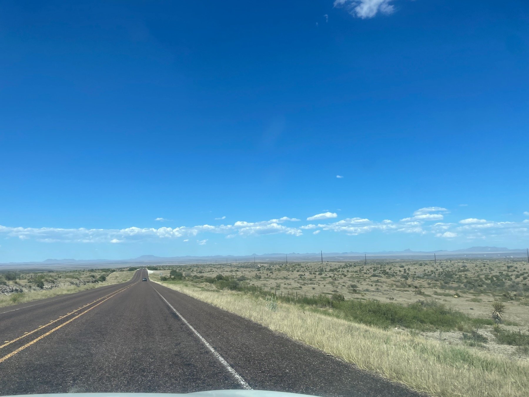
Windshield view of surrounding area in Marfa, May 2024.
I drove between Marfa and its neighboring towns of Fort Davis and Alpine frequently. It takes less than five minutes to “leave” town and quickly find oneself back amidst the expansive West Texas landscape. This is very much unlike “leaving” Houston, a city whose metro area exceeds 10,000 square miles and requires an hour of driving to cross at minimum. While the land feels open in some sense (the horizon is nearly always visible), it is not in fact accessible. Barbed wire lines either side of the road and cuts across long swaths of land. The land, like 95% of Texas, is “private property”.[1]
One of my classmates, an international student, asked about stepping over the barbed wire and walking the land past Fieldwork Marfa. “I wouldn’t recommend it,” I said, “You would have to find the owner and ask permission to walk on that land. Otherwise, you could be apprehended or worse.” I offered alternatives and referenced the nearby state parks where exploring is somewhat feasible if you don’t mind sticking to the trails. Wandering, however, was impossible beyond the parameters of boundaries laid out between lots and roads.
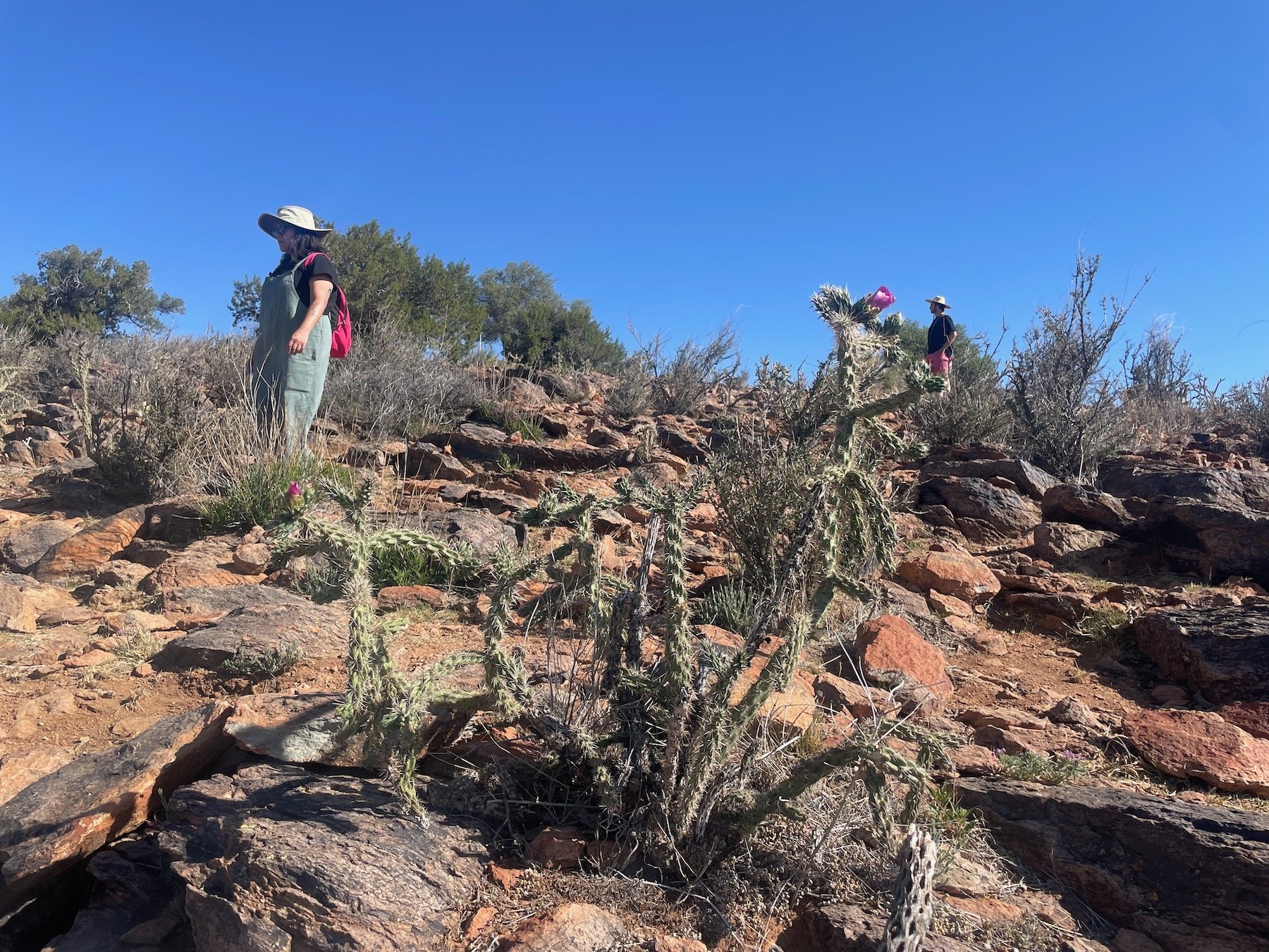
I drove my classmates to Fort Davis to visit places like the Chihuahuan Desert Nature Center and Davis Mountains State Park so that we could “wander” (on trails). Cholla in the foreground. May 2024.
“The desert as a site itself is both inaccessible and a space where everything lays bare.” - Ida Soulard, Manual for a Future Desert (2022)
Reflecting on this conversation and driving repeatedly across long swaths of land, the division of land felt absurd. The land is exposed, expansive, and “open”. Yet, it is divided into walled plots and prefabricated pathways.
Dividing the land into plots, these drawn lines were crude and inane. As I later learned, the division of land in West Texas was indeed somewhat arbitrary. Railroad companies hastily surveyed and divided the land into plots in exchange for land from the State of Texas to lay tracks on in the late 1800s. These surveys were so inaccurate that some claimed that they had been “done off the back of a running horse”. [2]
Untitled drawing, Gouache on paper, May 2024
I went down a rabbit hole trying to understand the land surrounding Marfa with the help of David W. Keller’s writing and the Marfa Public Library. Land ownership happened swiftly and amidst a mess of bureaucratic and frequently changing land laws that were accessible only to English speaking white ranchers of the late 1800s.
I wandered within the boundaries of Fieldwork Marfa’s 17 acres. I imagined watching myself from a bird’s eye view within the lines that delineated the plot of land, and the larger landscape receded. Sometimes I thought of myself as Link in the Legend of Zelda–moving and watching myself as I roamed around a fabricated landscape.
May 21, 2024, Fieldwork Marfa, Colored pencil and ink on paper.
Walking the perimeter of Fieldwork Marfa’s barbed wire fence, I inevitably found myself feeling like a fenced animal despite the freedom and flexibility I inhabited as part of this UH course. My watch and phone, both ever-present, tracked my movement as data bounced between myself, the town’s cell tower, and the various satellites. Returning to my room, I reviewed my movement and the lines it traced faithfully on my phone.
Untitled drawing, Gouache on paper and vellum, May 2024
I drafted maps of my own movement based on memory. The drawings became ambiguous modelings between surveillance of myself and the ethereal I recollected. I compared my work to that of the data collected on my phone.
May 16, 2024, Chihuahuan Desert Research Institute, Ink on Paper.
May 17, 2024, Fieldwork Marfa, Gouache and ink on paper.
I returned to Houston with my drawings still more curious about tracing my movement across physical and digital space (see The Here & There Residency), how manufactured space (primarily in terms of land allotment, zoning, and roads) obfuscates, and the ramifications of greater cell reception across even the most remote areas.
Some work I have been thinking about:
Walter De Maria, Ocean Music (1968) as described by James Nisbet in “Surface/Sphere: Walter De Maria’s Geopolitical Dimension”. De Maria collapsed geographic distance with two field recordings of the Atlantic and Pacific Oceans.
Francis Alÿs, The Green Line, 2004.
Joshua Edwards, Photographs Taken at One-Hour Intervals During a Walk from Galveston Island to the West Texas Town of Marfa, (2014).
Gilles Deleuze and Félix Guattari, A Thousand Plateaus, “14: 1440: The Smooth and the Striated”, (1980): “…the city is the force of striation that reimparts smooth space, puts it back into operation everywhere, on earth and in the other elements, outside but also inside itself”.
[1] "Featured Map: Land Ownership Types across the U.S.," 16 September 2021, https://nri.tamu.edu/blog/2021/september/featured-map-land-ownership-types-across-the-us/.
[2] David Keller, Below the Escondido Rim, 2005, p. 48


